Topographical Survey & Geodesy
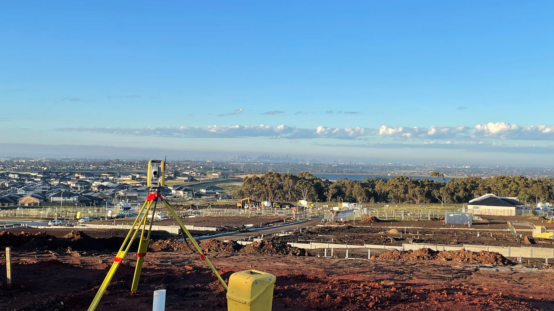
High-precision Total Station traverse and DGPS RTK geodetic mapping for boundary demarcation.
Our Methodological Scope
Precision surveying division delivering digital elevation models (DEM), contour mapping, and statutory revenue coordinate transfer for town planning, highways, and private campuses.
In central Rajasthan, climatic extremes and distinct regional byelaws necessitate rigorous attention to detail. Our team ensures that each design responds to solar angles, soil capacity, and client longevity requirements.
Core Process Highlights
- Survey of India GTS benchmark synchronization
- Sub-centimeter boundary closure tolerance
- GIS shapefile export for statutory master plans
This discipline is actively practiced across our established service zones in Rajasthan:
What You Receive
- 0.5m Interval Contour Elevation Maps
- DGPS RTK Geodetic Control Benchmarks
- Total Station Digital Terrain Model (DTM)
- Cut-and-Fill Volumetric Earthwork Calculation
Other Specialized Disciplines
Commission Topographical Survey & Geodesy Directly Online
Our 7-step digital commission questionnaire allows you to submit plot measurements, room zoning requirements, and site sketches directly to our design desk. Drawings are reviewed by Er. Sudhir Soni and Ar. Vipul Verma with delivery within standard milestone timelines.
Demonstrated Projects in Topographical Survey & Geodesy
View All Projects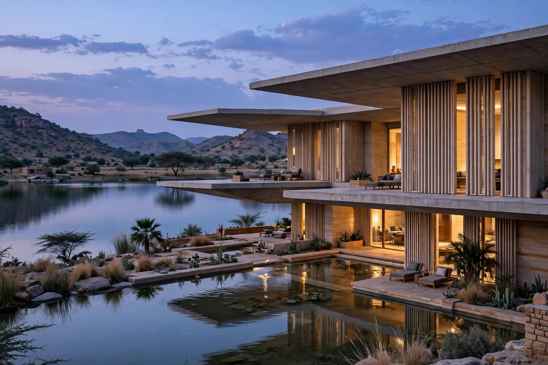
Ana Sagar Lake Residence
A contemporary lakefront villa responding to western solar radiation through deep cantilevered canopies, local stone thermal buffers, and an internal micro-climate courtyard.
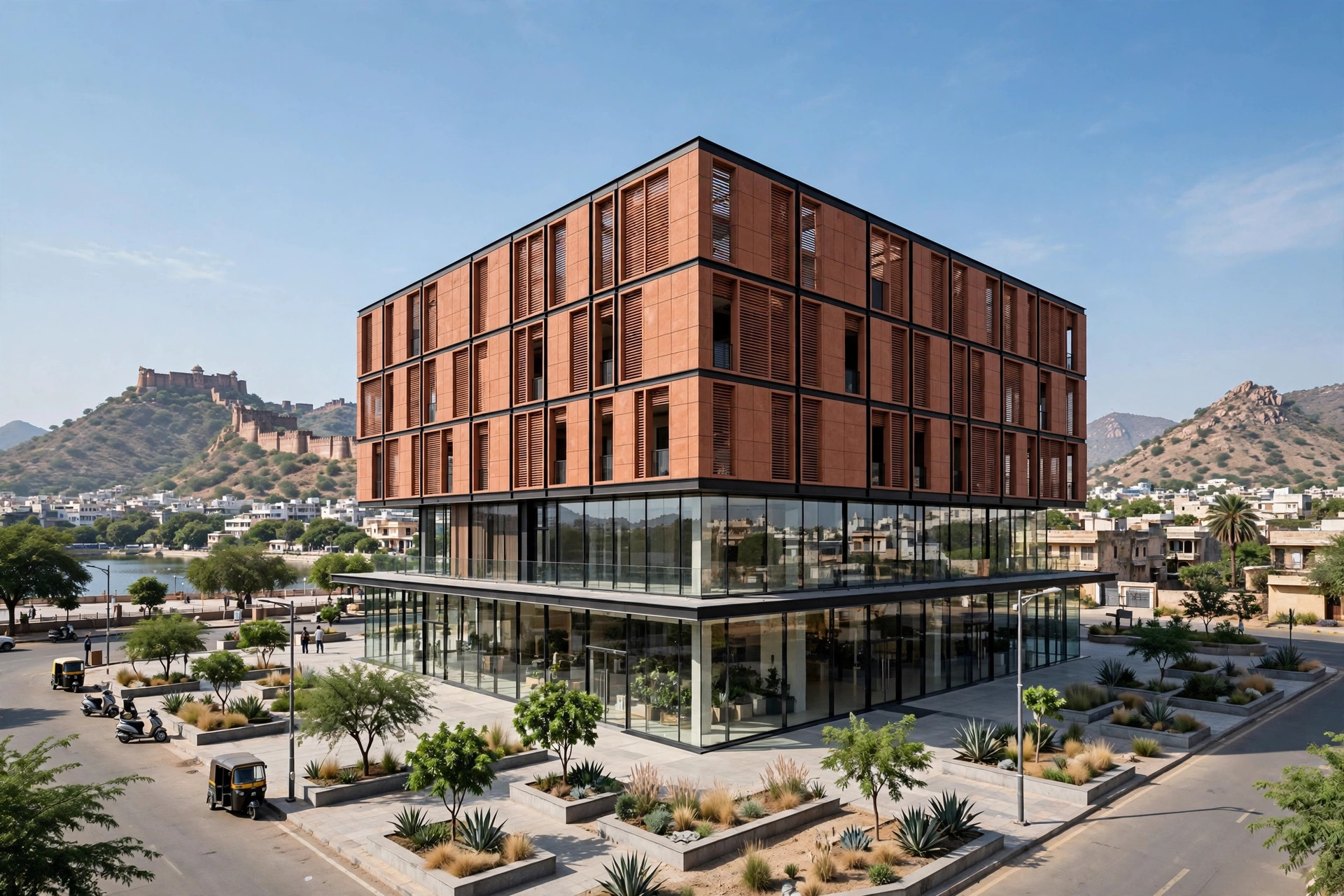
Panchsheel Commercial Pavilion
A multi-tier commercial retail and corporate hub engineered with column-free floor plates and high-durability ventilated facade technology.